03 / Radio capture
METEOR-M2-4, MSU-MR
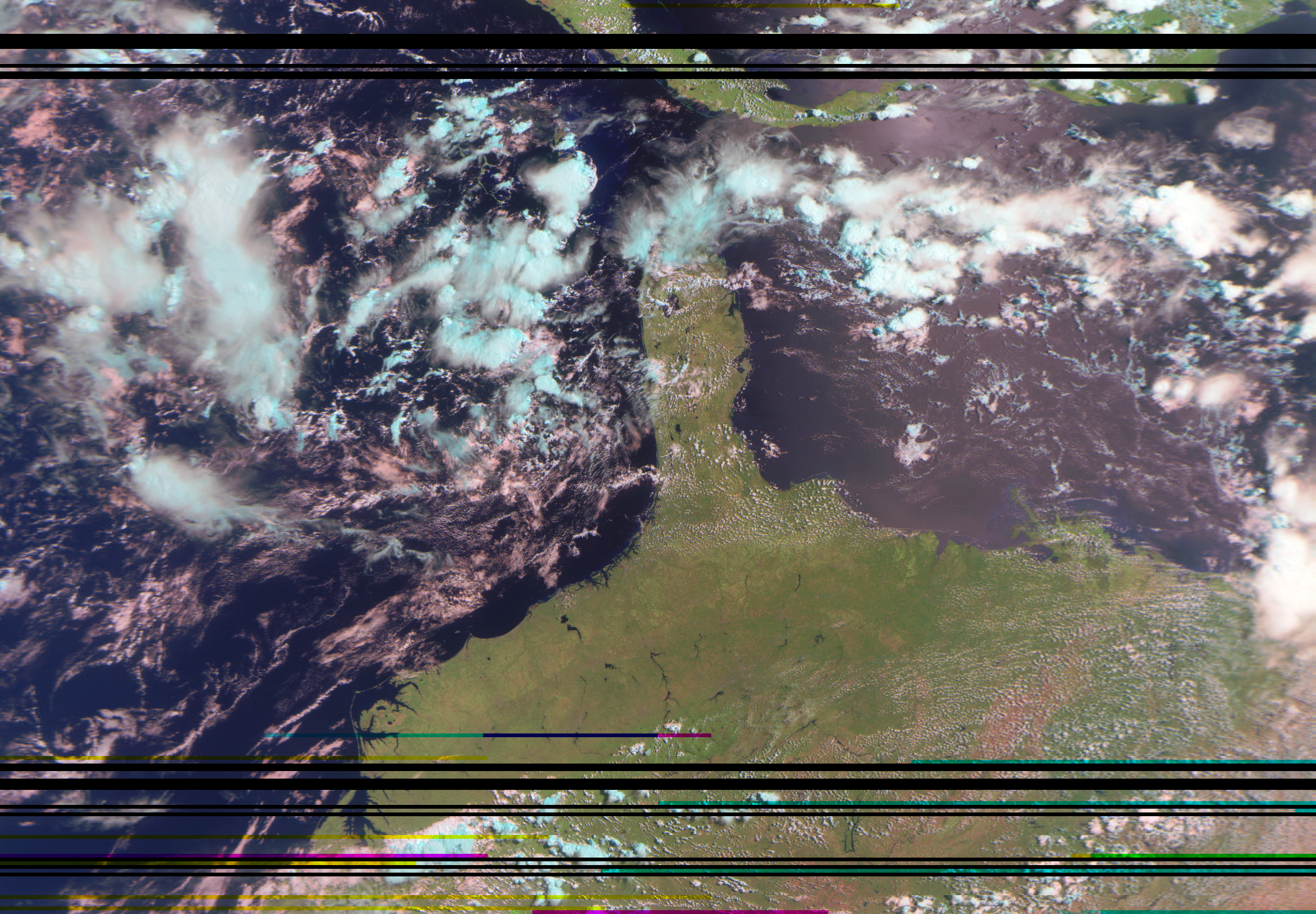
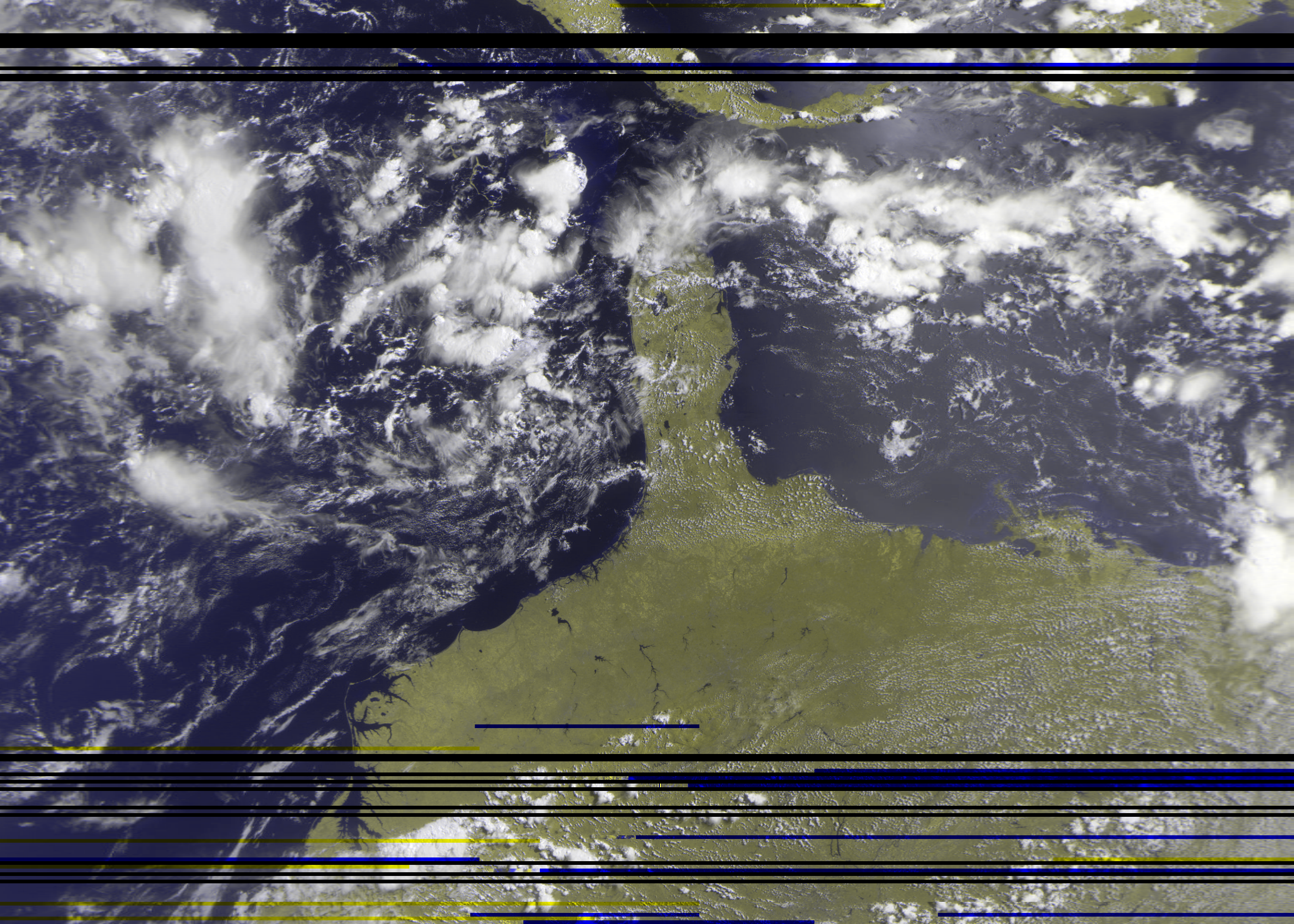
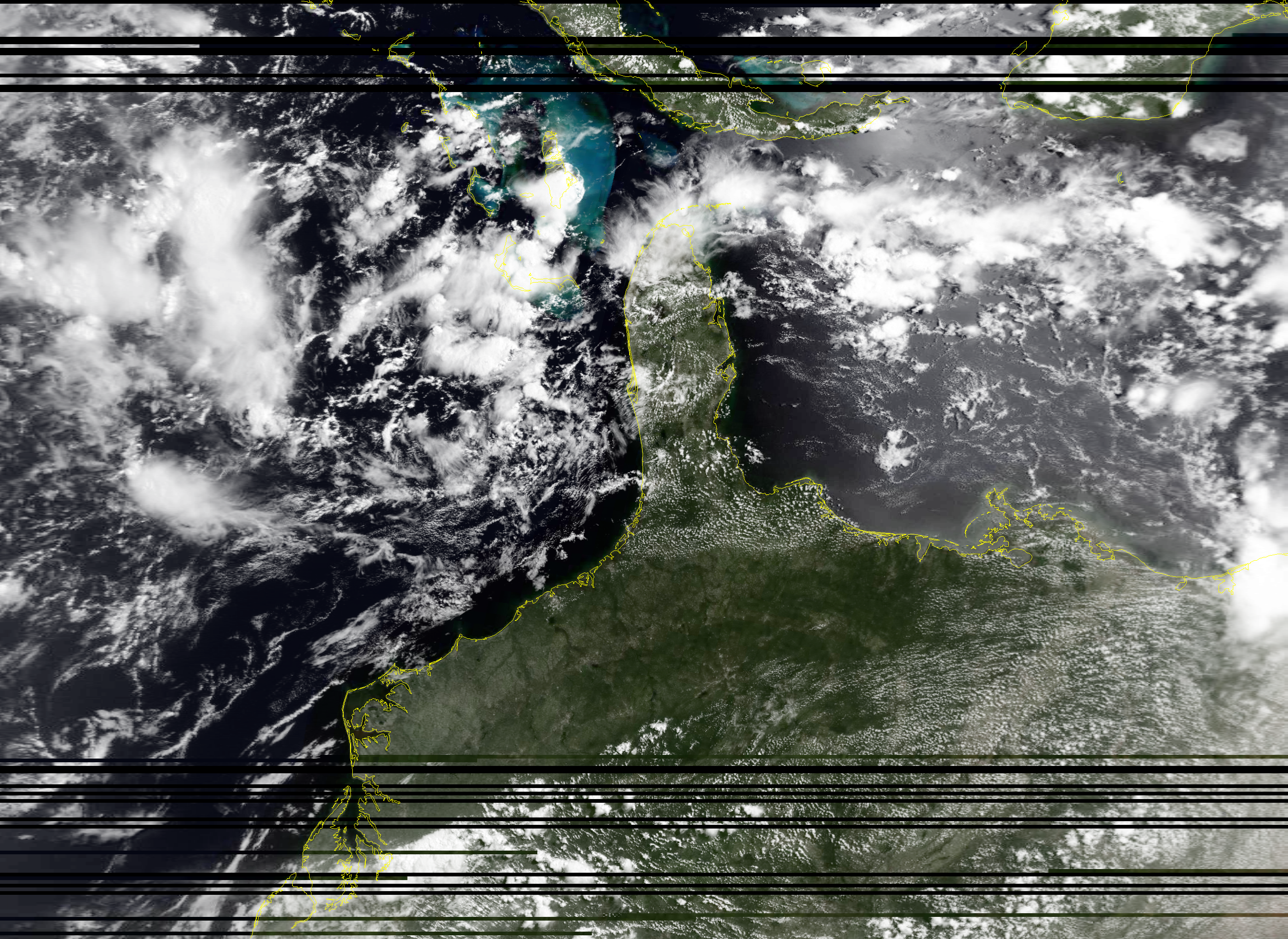
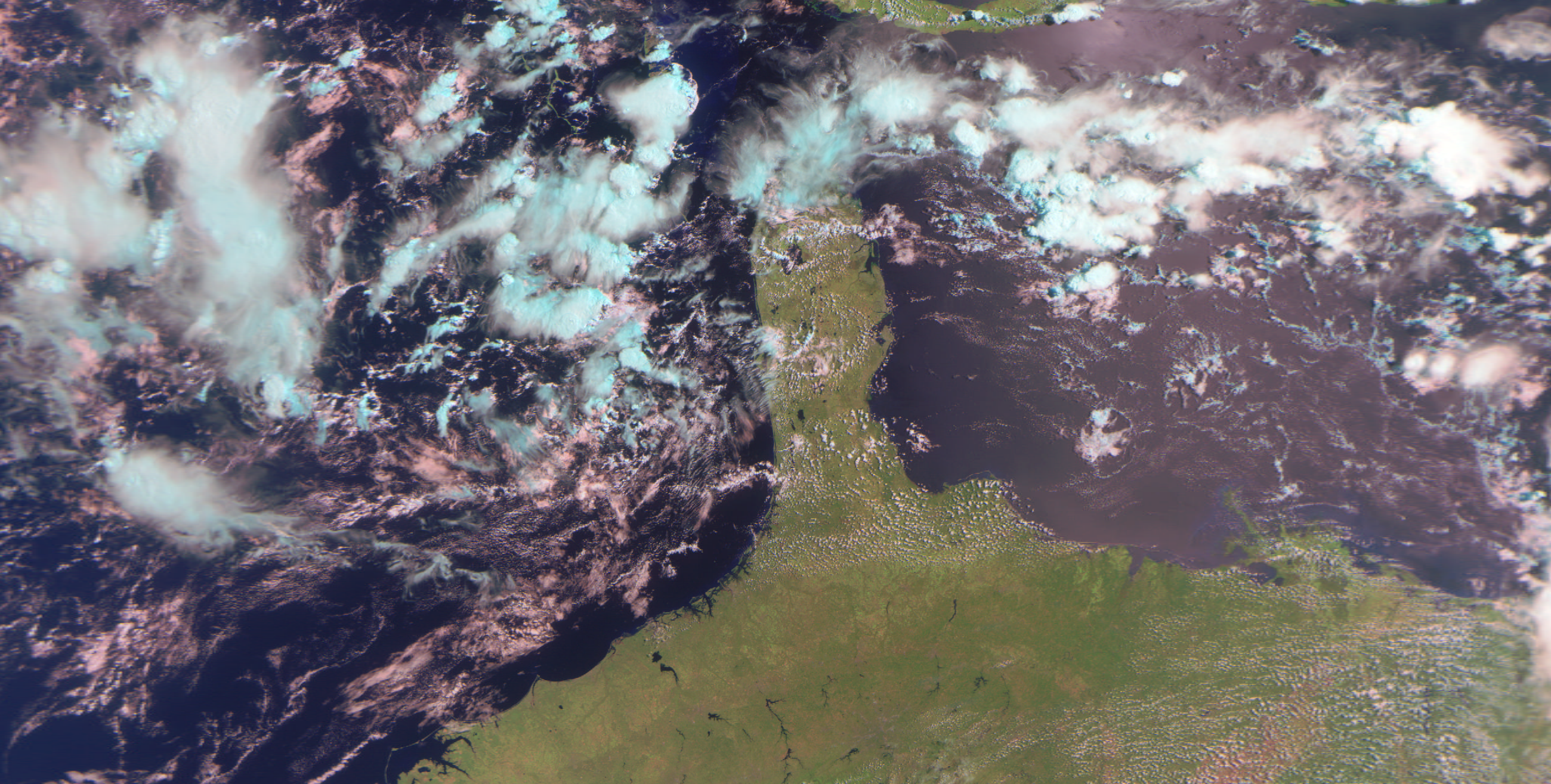
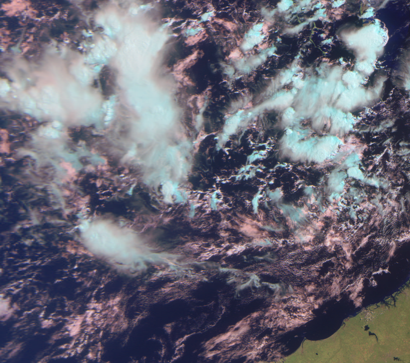
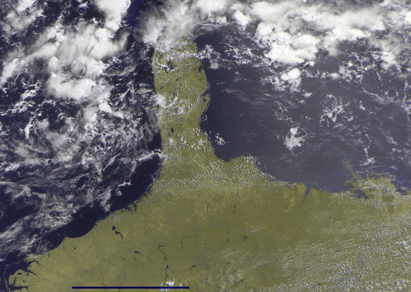
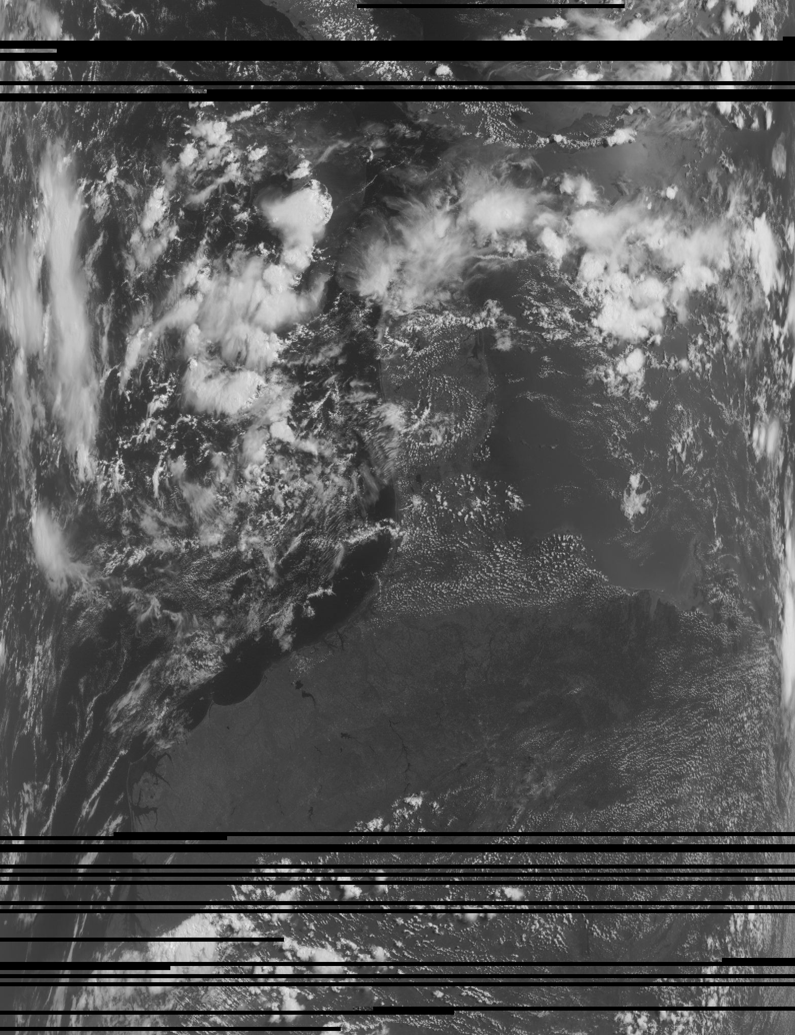
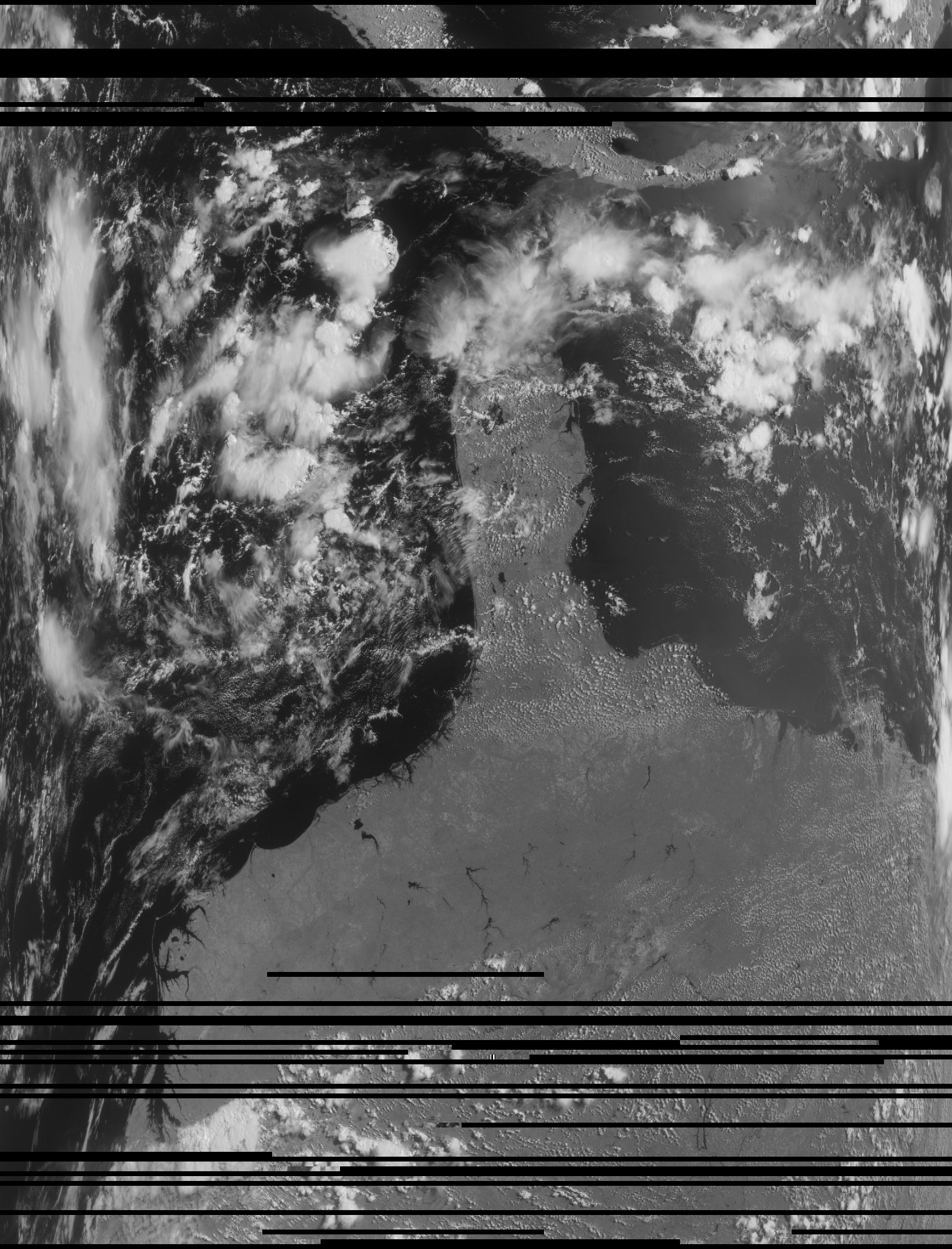
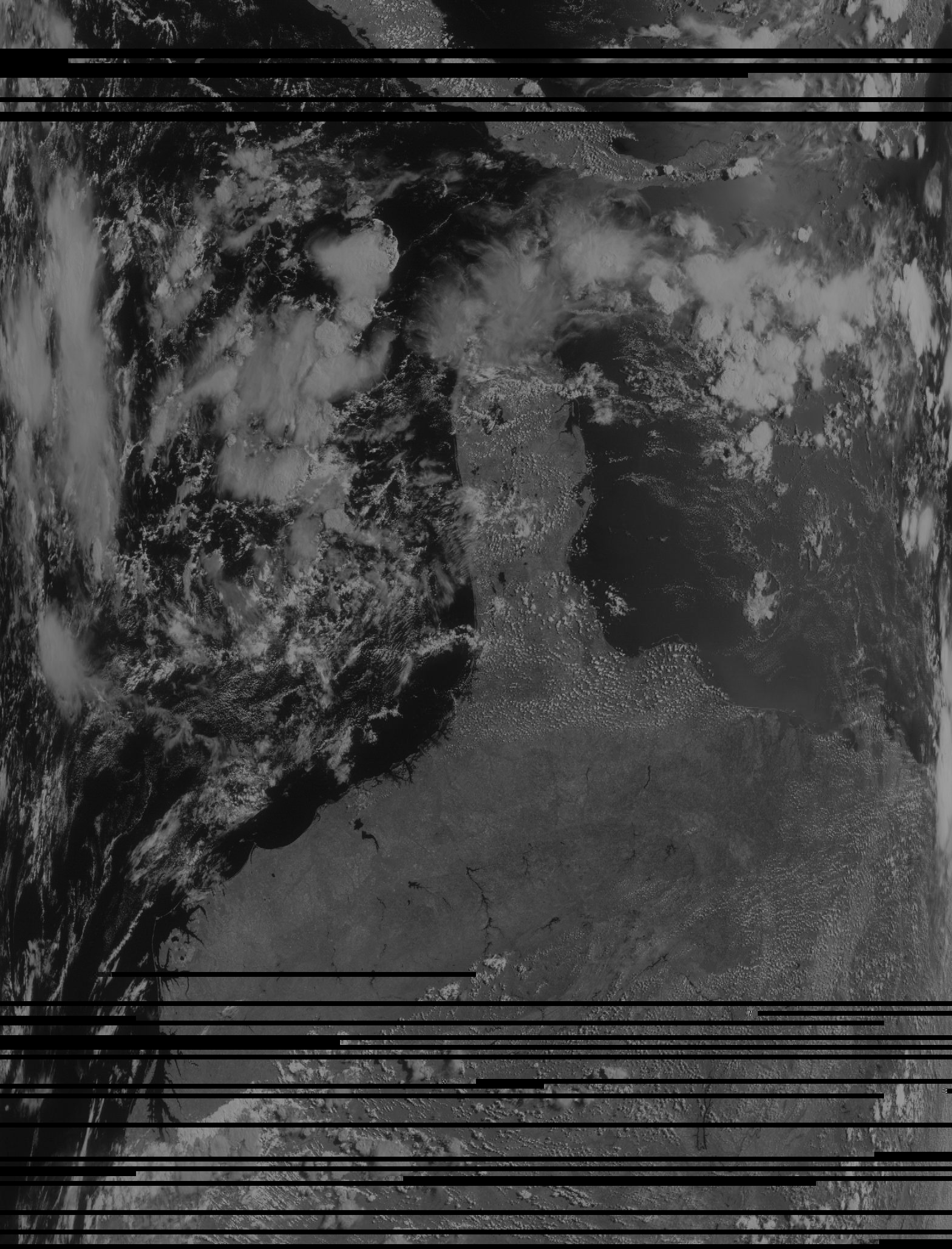
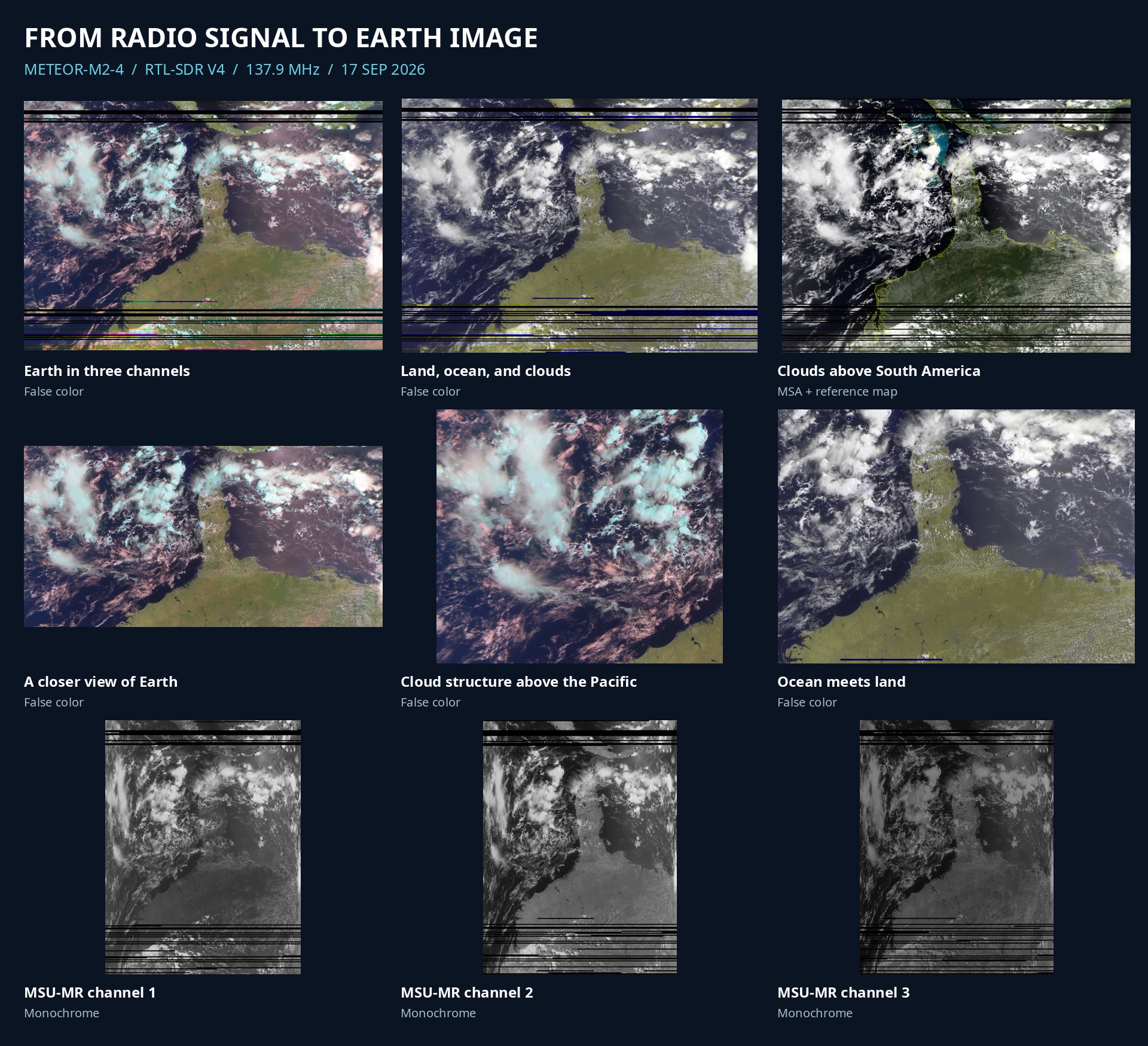
A weather satellite sent these scans as a radio signal. The receiver was an RTL-SDR V4. SatDump decoded the CADU. No AI image synthesis. Black lines are missing data.
MHz · LRPT
RTL-SDR
METEOR · MSU-MR
September 2026
SatDump names the satellite METEOR-M2-4. The dataset timestamp is 17 September 2026, 19:54:11 UTC. That is the decode time, not a verified pass start.
Processing used fill_missing=false. Three-channel false color is RGB = channels 3, 2, 1. Two-channel false color is RGB = channels 2, 2, 1. The MSA view places received cloud data on a reference map; land color in that view comes from the map. Monochrome files keep the original scan geometry. Corrected composites use SatDump geometry correction. Detail views are crops. No gap filling and no extra contrast work.
Map alignment depends on SatDump orbital data. It has no independent position check here.